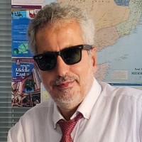
Head Of Cartography Department
Current- designing maps, graphics, illustrations and layouts.- communicating information through the use of colour, symbols, style and other means.- analysing and evaluating mappable information.- collating data provided by remote sensing techniques (the means by which spatial and environmental data about the earth are acquired by sensors located in satellites and aircraft).- using computers to compile and produce maps and graphs for specialist and general users.- researching, selecting and evaluating map source data for use in the preparation or revision of maps and charts to various scales.- design, maintenance and manipulation of geographical information (GI) databases.- working with geographical information systems (GIS) to see, model and analyse landscape features.- using desktop publishing packages to edit and formulate information.- capturing, maintaining and outputting digital geographic data.- keeping up to date with emerging specialist software.- generalising map data to allow for a reduction in scale (derived mapping).- checking and appraising the content and accuracy of maps, charts and printing proofs.