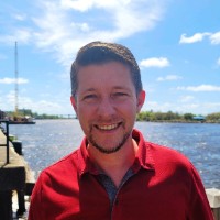
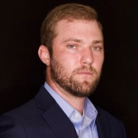
A motivated professional of geospatial and remote sensing sciences holding a M.S. in Geoscience focused in Geospatial Technologies from the University of North Carolina at Wilmington. I have a demonstrated history of working with geographic information systems, remote sensing applications and enjoy employing the use of field equipment including UAS to collect, process and present information. I am a strong and ambitious professional who is excited and focused on expanding my technical capabilities through data collection, management, research, analysis, and presentation while growing as a professional team member.
Listed skills include Arcgis, Drone Piloting, Pix4Dmapper, Global Positioning System, and 46 others.