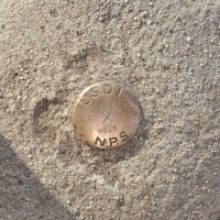
Land Surveyor
Currentbe aware of specific project requirements, measure the ground as required including small and large-scale distances, angles, and elevations, gather data on earth's physical and man-made features through surveys, process data, undertake digital mapping, make use of geographical information systems to analyze and interpret site features, produce detailed information, use a range of equipment to produce surveys including GPS and conventional methods, analyze information thoroughly before it is handed over to other professionals, interpreting data using maps, charts, and plans, traveling
Oct 2013 - Present