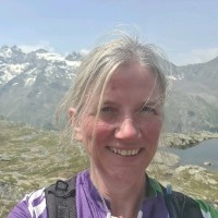
I am a Geographic Systems and Data Officer at NatureScot, the public body responsible for Scotland's natural heritage. I finished BSc (Hons) in Ecology at the University of Stirling, where I have gained laboratory research skills and experience in drone data analysis. My core competencies include ArcGIS Pro, Agisoft Metashape, QGIS, and spatial data visualization and communication.In my current role, I produce maps for the organisation's staff, using both desktop and online GIS tools to create clear and engaging visualisations of the spatial data. I also undertake geo-processing and spatial analysis tasks, and communicate with customers to provide advice on which products or data are most appropriate for their needs. Additionally, I create media such as Dashboards and Storymaps to showcase and communicate the spatial data to a wider audience. I am passionate about nature conservation and environmental education, and I enjoy working with a diverse and collaborative team that shares the same vision and values.