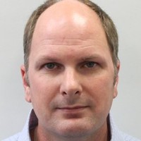
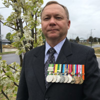
I have been working in the Geospatial industry for over twenty years, since starting in the military as a Geospatial technician in 2001, I have worked in a large number of highly technical and rewarding roles, these have been both government and private sector positions and general high tempo technical roles.I have solid experienced in conducting high resolution survey’s using a number of survey technologies, these include total station, GNSS (GPS) and laser point cloud scanning, along with detailed imagery capture using 360 degree photo scanning hardware and software to generate 2D plans and 3D virtual walkthrough products and digital twins.I am a highly advanced Geospatial Information specialist, capable of GIS data collection, Geospatial production 2D and 3D, GIS data/Imagery analysis and complex data management, and spatial service publication/delivery and management. I also have spent a significant number of years conducting direct Geospatial application support and management as well as 2-3 level technical and application support for highly skilled users. I have a solid work ethic, enjoy a challenge and love solving technical problems. I work well independently or as part of a team, I have always preferred hands on technical rolls over management positions however I managed multiple technical staff in some of my pervious positions I have held.I am happy to work from home or in the office as required; alternatively, I have significant experience traveling while conducting/supporting high tempo technical tasks/operations. I am also used to traveling at short notice in support of operations.In my previous role with KBR/Mission Planning Australia as a Geospatial data manager, I specialize in Geospatial Information data management, processing, transformation, and analysis. I am also responsible for leading and conducting high precision airfield surveys in support of UAV mission planning activities for Department of Defence.I regularly process large volumes of Geospatial data used in supporting Defence aviation mission planning activities, to achieve the best quality products I currently utilize a large number of spatial and non-spatial applications allowing me to process, analyse and manage these data sets which can reach terabytes in size and take weeks to process. These applications include but are not limited to Global Mapper, ArcGIS, ArcGIS Pro, FME, QGIS, Erdas Imagine and a large number of critical and complex supporting data management applications for data QA and information management.