Marine Scientist
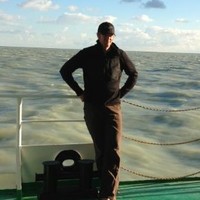
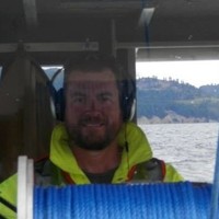
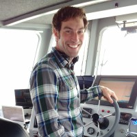
CurrentMr. McEliece has been working in the oceanographic industry since 2005. Specializing in offshore surveys, remote sensing, GIS, data processing, data analysis and survey technologies, he has collected data in both near shore and deep ocean environments all over the world, including North America, Europe, Asia and Africa. As an accredited research scientist, Mr. McEliece has developed innovative methods for collecting and processing survey data using Autonomous Aerial Vehicles. Mr. McEliece has the ability, experience and education to assess technological needs, design workflow strategies that streamline goals to manage complex projects within time and budget constraints. The combination of his technical experience, GIS and remote sensing skills are critical for successful data analysis. He excels in utilizing these technologies to understand dynamic processes and execute project goals with accuracy. His skills allow him to predict critical project details that enable efforts to be streamlined.