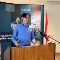

Forest Inventory Analyst
CurrentI use GIS, Python, PowerBI and Remote Sensing to assist creating the Canadian National Forest Inventory (NFI) geospatial layer to be reported for the UN FAO Forest Resource Assessment. Designed model for synchronizing and managing 1500 forestry-related datasets.Here's what I learnt so far:I'm a very purpose driven person - I get very motivated to work when I could see the bigger picture and that I can help create an impact. I fully understand the relationships between local businesses, provincial and federal governments.I really love my job.
Aug 2024 - Present