
Project Scientist
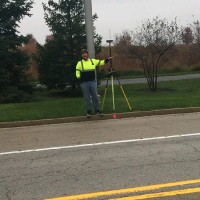
Current-Conducts wetland and stream delineations in Ohio, Pennsylvania, Indiana, Kentucky, and Illinois in accordance with current USACE protocols.-Manages field data input and prepares wetland delineation reports and other similar documentation necessary for permitting (NWP 3, 12, 14, and 29).-Works with engineers, GIS, and CADD teams to map the area and extent of streams and wetlands, providing accurate data and assisting in the preparation of site work plans.-Serves as an assistant for potential roost tree and portal surveys for the Endangered Indiana Bat (Myotis sodalis) and endangered Northern Long-Eared Bat (Myotis septentrionalis).-Performs a variety of other ecological assessments, such as vegetation monitoring, biomonitoring, rare plant surveys, etc.- Experienced in using ArcPro to create figures for reporting and permitting purposes and to create digital field maps for field personnel to collect data in the field.