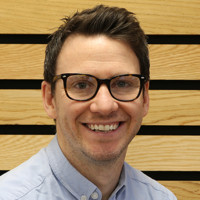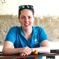
Research Officer (Gis & Remote Sensing)
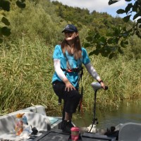
CurrentI work on a variety of GIS projects across WWT from creating citizen science data portals with ArcGIS Online apps to producing a novel methodology to map wetland creation opportunity across the UK (https://www.wwt.org.uk/using-data-to-put-wetlands-to-work/). I run all GIS training and manage the storage of all spatial data at WWT.
Sep 2022 - Present