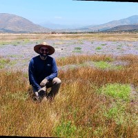

Senior Gis Specialist
CurrentResponsible for analyzing spatial data used in the creation of computer generated maps. These maps include, but are not limited to, vegetation, water and wetland resources, development impacts, and land restoration. Experience with many different types of hardware, software, and data that are needed to perform GIS functions. Coordinates with project managers, biologists, and environmental planners to ensure that the maps produced accurately reflect the needs of the individual project with respect to content, standards, quality, geographic reference, integration, organization, and appropriate documentation.
Sep 2009 - Present