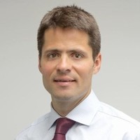

Associate Director
CurrentTim heads up the Dalcour Maclaren Geomatics team of dedicated specialists in CAD, GIS, mobile mapping, topographical surveys, underground utility scanning, land referencing, database administration and project management which supports all clients and schemes across the company. The team is growing, ambitious, and continually looking for new innovation to improve our service or new opportunities to apply our skills and knowledge to new areas.Tim plays a key role in business development as the team becomes more client focussed and is enjoying winning and managing large land referencing CPO and DCO projects, topographical surveys, internal and external building surveys, mobile GIS apps and the full range of HM Land Registry compliant plans.
Jan 2018 - Present