
Geographic Information Systems Developer
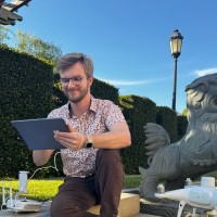
CurrentWork with a multidisciplinary team to develop tools for analyzing, processing, and viewing 3D Point Cloud data from LiDAR collections in GIS. Collect imagery from UAS platforms and create photogrammetry. Create GIS platforms and mapping tools for USC ICT.
Jun 2022 - Present