
Surveying Technician
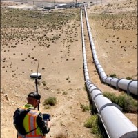
CurrentCreate boundary and topographic drawings from survey data using Leica Infinity and Civil 3DAdjuste and operate surveying instruments such as prisms and electronic distance-measuring equipment.Conducted surveys to ascertain the locations of natural features and human-made structures on the Earth's surface.Interacted extensively with licensed surveyors, field crews, and clients to define and meet all project specifications.•Recovered section corners, property irons, and survey points.•In the process of obtaining drone flight license FAA part.107.•currently studying for LSIT.
Nov 2022 - Present